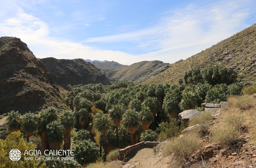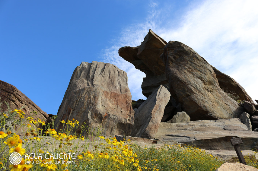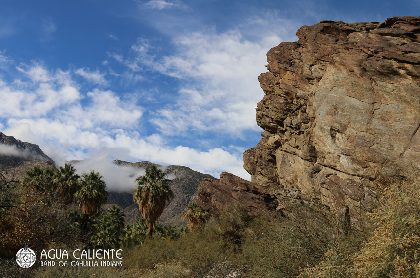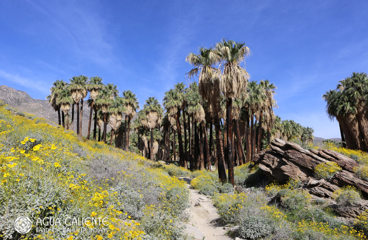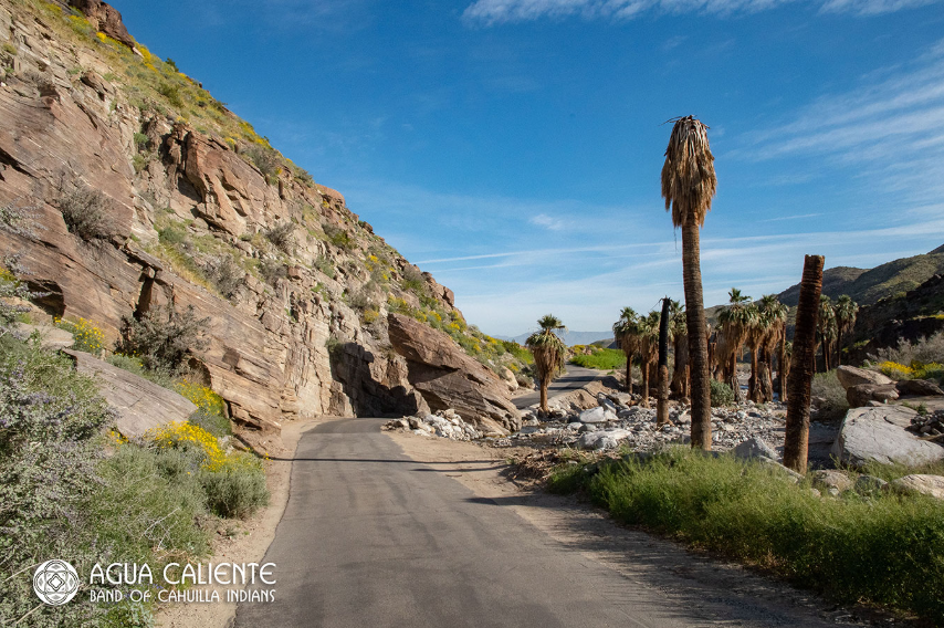

Surrounded by the rugged San Jacinto Mountains in Palm Springs, California, Indian Canyons is a remarkable landscape where towering palms, flowing streams, desert wildlife and Cahuilla history come together. Owned and managed by the Agua Caliente Band of Cahuilla Indians, the canyons are part of the Tribe's Reservation and remain an important cultural landscape as well as one of the Coachella Valley's most popular outdoor destinations.
For the Agua Caliente people, these canyons are more than beautiful places to hike. The Cahuilla have lived in this region for centuries, developing sophisticated ways to live with the desert environment and making use of the water, plants and natural resources found throughout the canyons. Along the trails, visitors can encounter ancient rock mortars, petroglyphs, historic irrigation features and other evidence of generations of Cahuilla life.
The landscape changes dramatically as visitors move through the canyons. California fan palms rise above shaded streams, rugged rock formations frame narrow trails and desert plants thrive around natural springs and waterways. Interpretive information and guided experiences provide opportunities to learn more about the land and the Tribe's enduring relationship with it.
Palm Canyon
At approximately 15 miles long, Palm Canyon is the largest of the Indian Canyons and one of the area's signature desert oases. The trail follows a seasonal stream beneath groves of California fan palms (Washingtonia filifera), with more than 3,000 palms creating a striking contrast against the surrounding rocky desert.
15-mile canyon
More than 3,000 California fan palms
Natural oasis and seasonal stream
Scenic canyon and mountain views
Natural springs
Desert wildlife
Hiking and horseback riding opportunities
Picnic areas
Opportunities to explore Cahuilla cultural and historical sites
Andreas Canyon
Andreas Canyon follows Andreas Creek through a lush palm oasis surrounded by dramatic rock formations. The canyon contains ancient bedrock mortars once used by Cahuilla people to grind food, providing a tangible connection to the generations who lived in and cared for this landscape.
The popular 1.2-mile Andreas Canyon Trail follows the creek for approximately half a mile before looping back along the upper stream terrace.
1.2-mile loop trail
Andreas Creek
California fan palms
Ancient bedrock mortars
Dramatic rock formations
More than 150 plant species
Desert wildlife
Scenic oasis views
Hiking and guided tour opportunities
Murray Canyon
Murray Canyon offers a quieter and more adventurous hiking experience, with opportunities to see wildlife and explore a changing desert landscape. The trail crosses the creek numerous times before reaching the Seven Sisters waterfall, one of the canyon's most rewarding destinations.
Creek crossings — hikers may cross the water more than 15 times
Groves of California fan palms
Seven Sisters waterfall
Peninsular bighorn sheep viewing opportunities
Habitat for the endangered Least Bell's vireo
Desert birds and other wildlife
Hiking and guided tour opportunities
Scenic mountain and canyon landscapes
Outdoor & Cultural Experiences
Hiking – Explore trails ranging from short oasis walks to longer canyon adventures.
Horseback Riding – Experience portions of the canyons from horseback.
Guided Tours – Learn about the landscape, Cahuilla history and cultural significance with knowledgeable guides.
Cultural Sites – Encounter bedrock mortars, petroglyphs and other features connected to Cahuilla history.
Wildlife Viewing – Look for desert birds, bighorn sheep and other wildlife.
Water & Oasis Landscapes – Follow streams and springs through otherwise rugged desert terrain.
Palm Groves – Walk beneath California fan palms that create some of the region's most distinctive natural scenery.
Interpretive Information – Learn about the Tribe's relationship with the canyons and the plants, water and resources that sustained generations of Cahuilla people.
Visitor Information
Location: Palm Springs, California.
Managed By: Agua Caliente Band of Cahuilla Indians.
Hours: Hours vary seasonally; visitors should check current operating hours before visiting.
Admission: An entrance fee is required; current rates should be confirmed before travel.
Pets: Check current park regulations before bringing pets, as restrictions apply on trails.
Visitor Tip: Wear sturdy footwear, carry plenty of water and allow extra time for the longer trails. Summer temperatures can be extremely hot, and some trails involve stream crossings or uneven terrain.